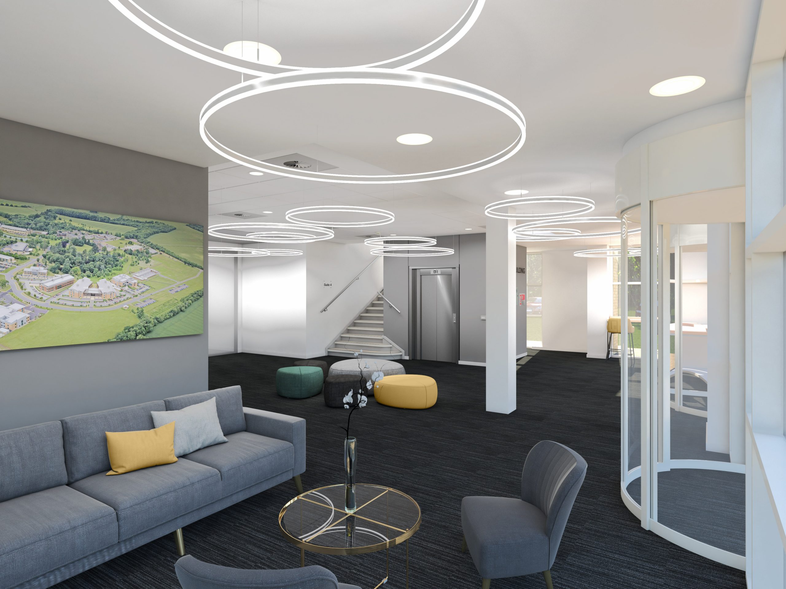
What is Vu.CITY_
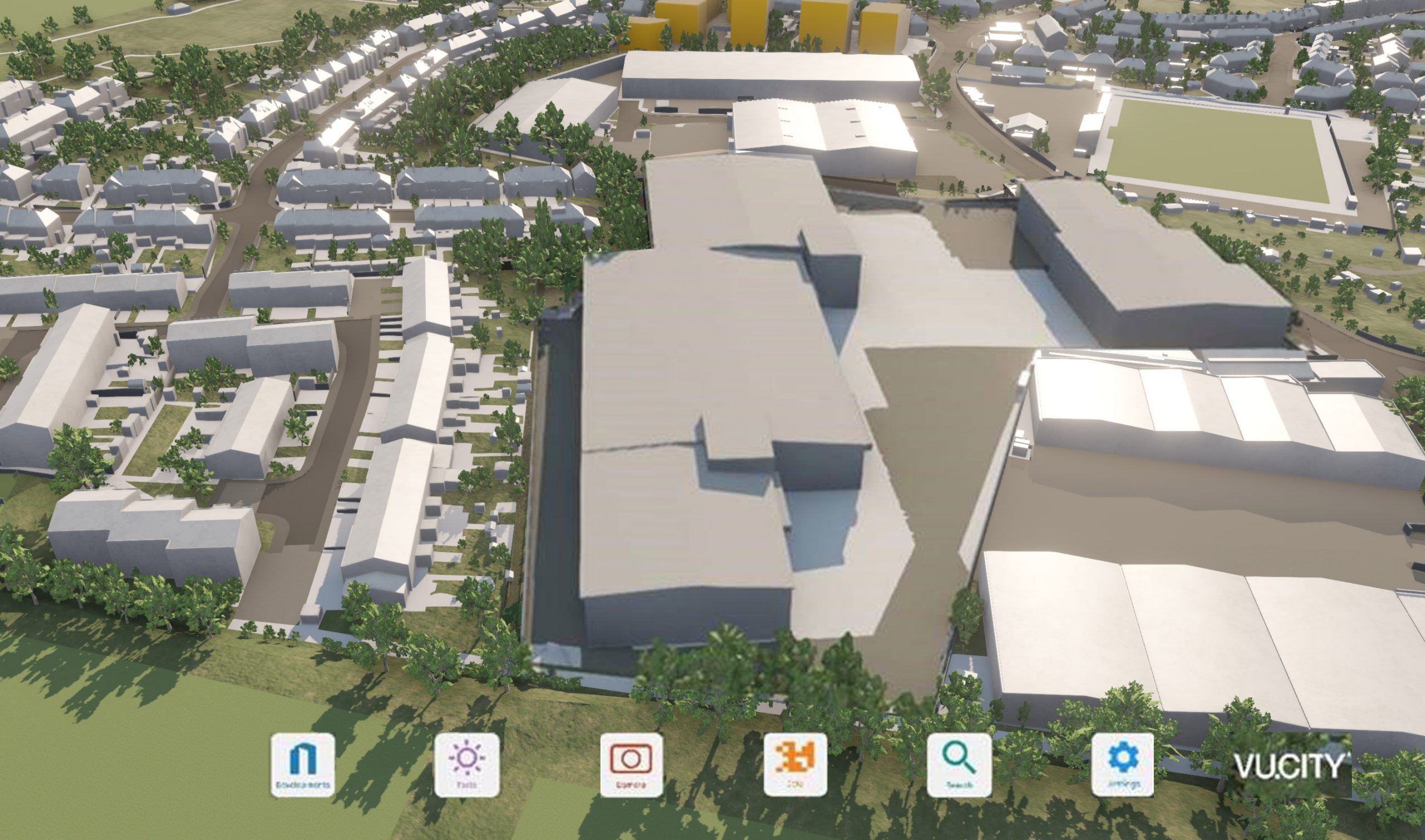
Many local authorities, particularly London Boroughs are evaluating proposals by creating their own simplistic models and setting them into the London-wide city model provided by VuCity. This in turn can generate Zones of Theoretical Visibility which suggest where the visual impact of a development might be seen from.
Often AVRs are then commissioned to examine in more detail, from real life, whether this is the case. However, simplistic over generalised views of the scheme in an undetailed context can often be the result if VuCity is used in unsympathetic hands. At Emperor Vision we can transform our models into geo-located versions maintain lots of subtlety and detail and integrate them with the VuCity platform, allowing our clients to, once again, control the narrative.
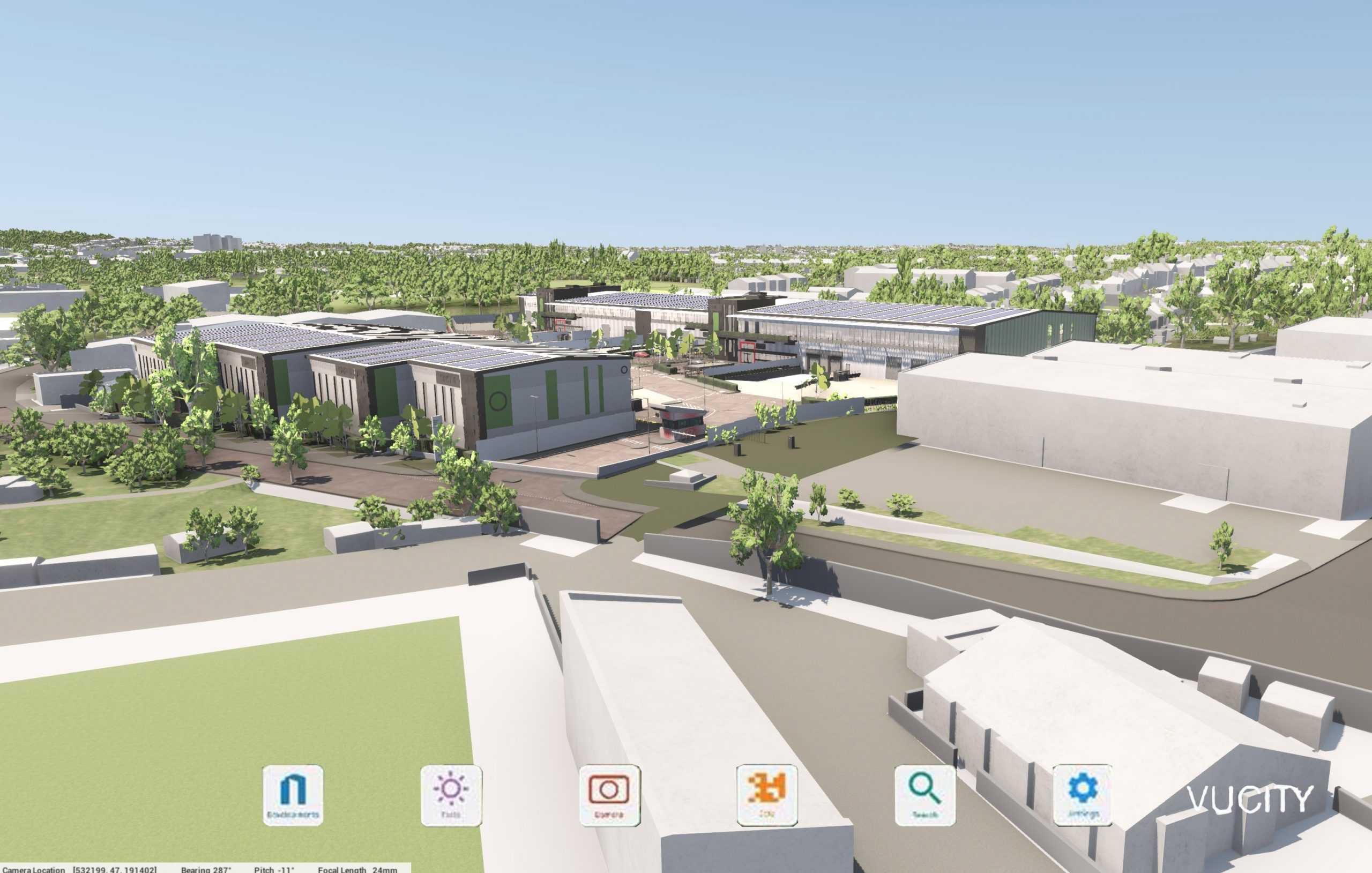
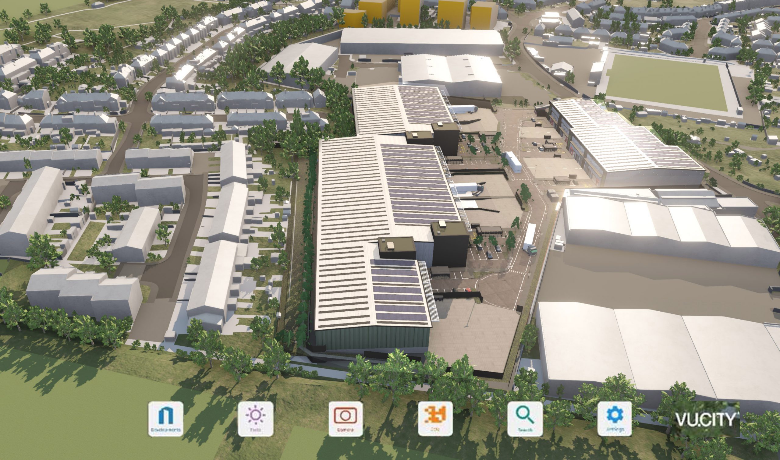
Here are two comparisons between a VuCity visual, and one of our own models. We will make a more detailed VuCity model, geolocated and ready for direct import.
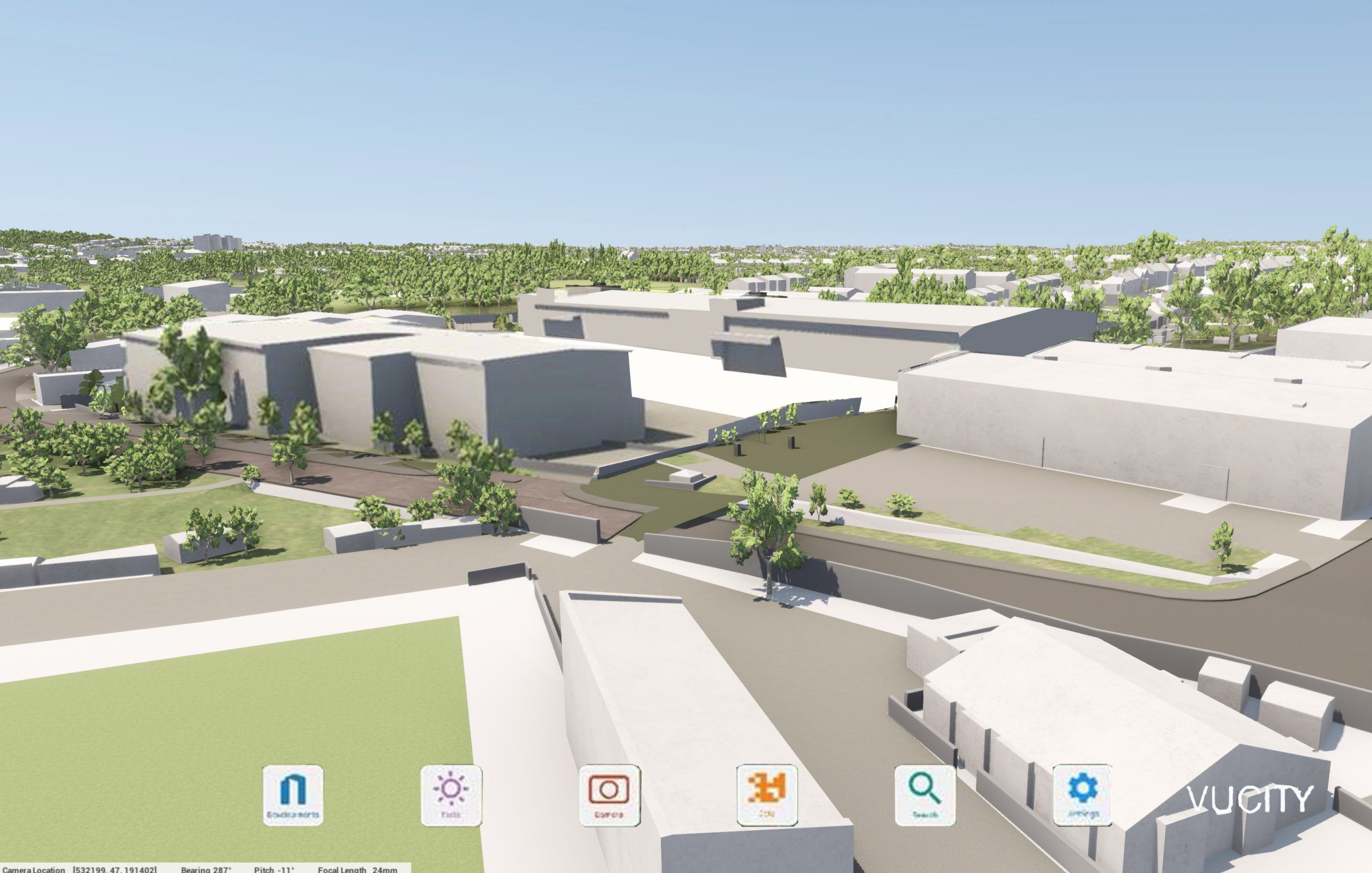
Standard vu.city
Our more detailed version


